Pelmewash Parkway
An easy day, exactly when you need one.
If you're looking for an easy day with cycling, Pelmewash Parkway is a solid pick.
Not the pick for solitude or a rugged wilderness day.
Don't leave without...
- Recreation
- Social opportunities
- Walking
- Biking
- Cycling
Overview
An informal boat launch spot on Wood Lake.
Quick Facts
- Type
- boat launch
- Coordinates
- 50.1219, -119.3864
What you can do here
- Walking
- Biking
- Recreation
- Social opportunities
Good to know
- Pathway Type
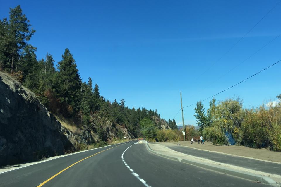
- Paved multi-use pathway on a continuous route from Winfield to Oyama.
- Connection
- Connects to the Okanagan Rail Trail at the North end and to Pretty Road at the South end.
- Trail Info
- Enjoy the paved multi-use pathway on a continuous route from Winfield to Oyama along the West side of Wood Lake, connecting to the Okanagan Rail Trail at the North end and to Pretty Road at the South end.
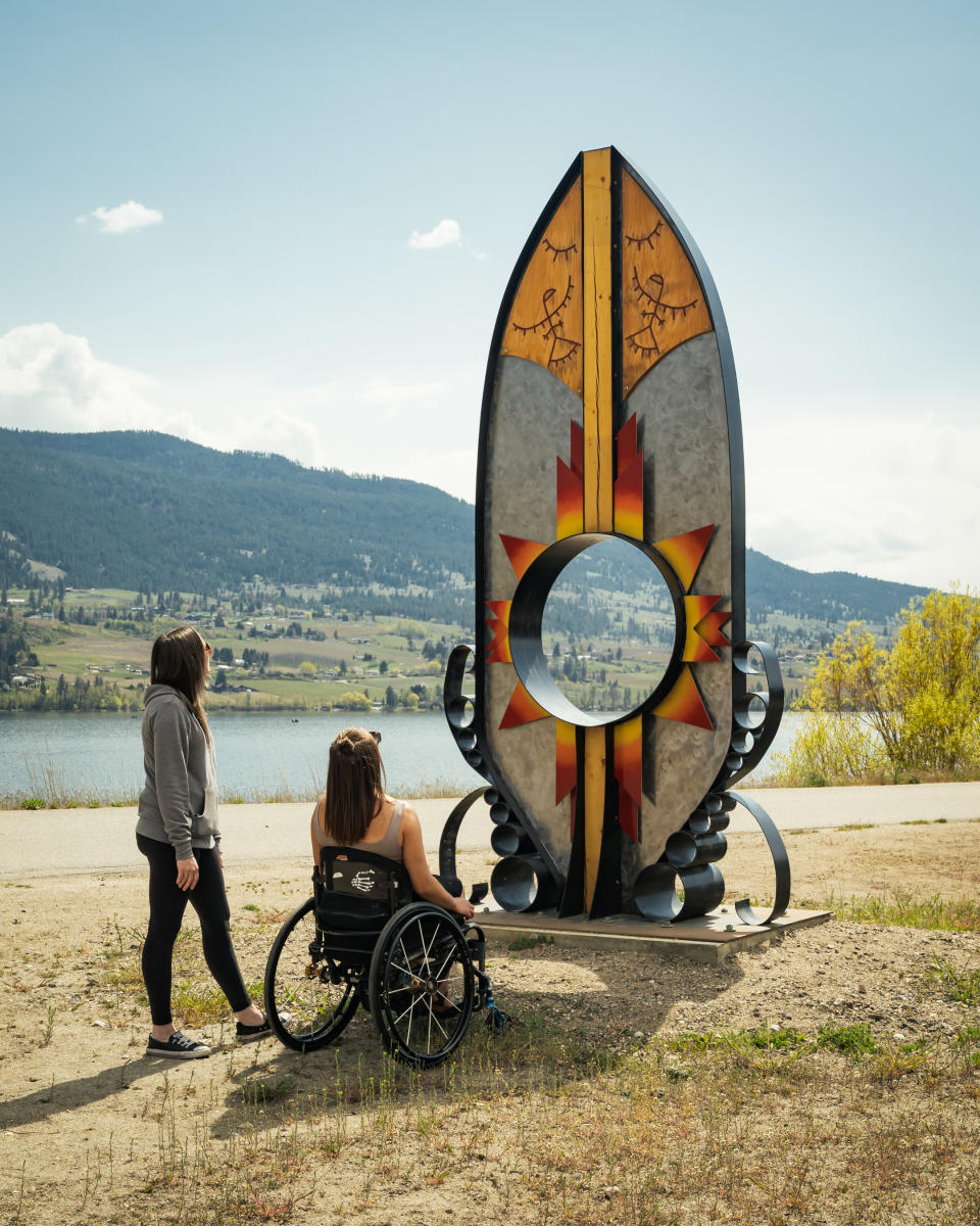
syilx Artwork on Pelmewash Parkway
- Artists
- Clint George and Les Louis, syilx artists from the Penticton Indian Band and Lower Similkameen Indian Band
- Art installations
- Three sculptures that share traditional stories of the Okanagan people
Keep Exploring
Kaloya Regional Park
1.4 km away.
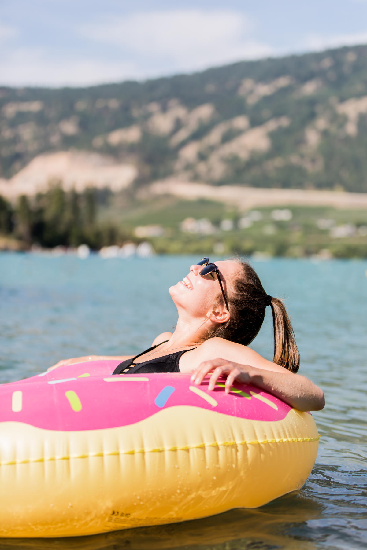
A regional park on the south end of Kalamalka Lake.
Oyama boat launch
2.5 km away.
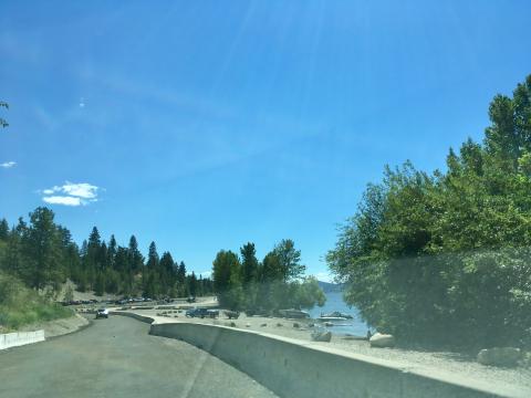
A boat launch located on Wood Lake at the north end in Oyama.
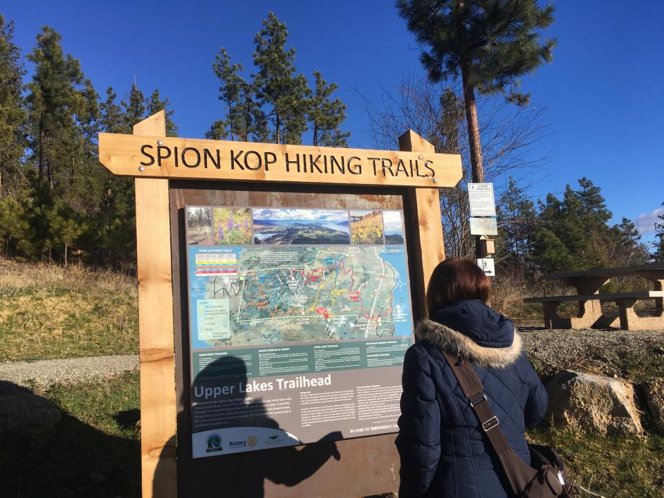
Spion Kop
4.9 km away.
A trail area maintained by the volunteer community group WALC, featuring a summit with rew…
Peaks to Shore
1.6 km away.
The location where the Young Professional Coffee Social event is held, situated in Oyama.
Oyama
1.7 km away.
A starting point of the paddle trail at Kalamalka Lake.
Rattlesnake Point
3.4 km away.
A viewpoint at Kalamalka Lake Provincial Park known for its sunset walks and views of the…
Wood Lake
4.5 km away.
A lake accessible from Lake Country, popular for swimming, fishing, and water sports.
Coral Beach
4.9 km away.
A local beach location on Okanagan Lake in Carr's Landing.