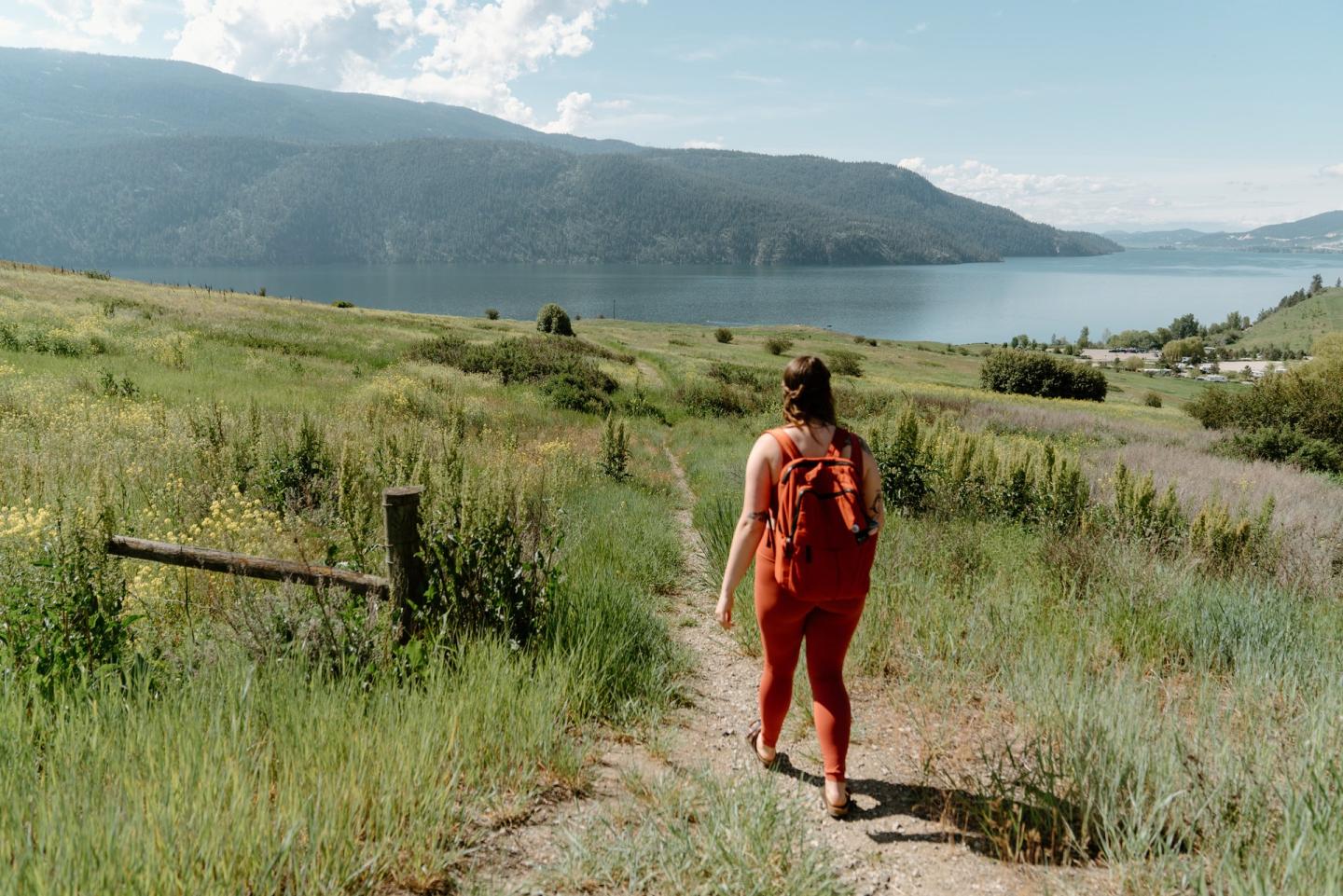
Kalamalka Lake Park
An easy day, exactly when you need one.
If you're looking for an easy day with pets on leash, swimming, and cycling, Kalamalka Lake Park is a solid pick.
Not the pick for solitude or a rugged wilderness day — this is a developed, easy-access spot.
Don't leave without...
- Mountain Biking
- Fat Biking
- Mountain biking
- Scenic mountain bike ride
- Invigorating hike
- Gentle stroll
- hiking
- Hiking
- Pets on leash
- Swimming
- Snowshoeing
- Canoeing
- Fishing
- Wildlife viewing
- Cycling
- Waterskiing
- Horseback riding
- Hunting
- Winter recreation
- E-Biking
Overview
Kal Park has the largest concentration of bike trails in the greater Vernon area with trails like the Big Ed loop and the Lookout trail offering spectacular views. It includes trails for all rider levels, including the Blue flow trail Flovid and the challenging Killer King Route.
Photos
Quick Facts
- Type
- park
- Coordinates
- 50.1655, -119.3161
What you can do here
- snowshoeing
- Hiking
- fat biking
- Gentle stroll
- Invigorating hike
- Pets on leash
- Scenic mountain bike ride
- Swimming
- mountain biking
Good to know
- Hours & season
Park gate — This park has no gate.
Operating dates — January 1 to December 31 each year (as published for the 2025 season).
Off-season use — Permitted.
Operating dates — January 1 to December 31 each year (as published for 2025).
- Fees & reservations
Day-use pass reservation — Not required at this park (this says nothing about fees).
Day-use pass — No day-use pass is required at this park.
- Getting there & parking
Located 8 km south of Vernon city centre off Highway 6.
8 km south of Vernon city centre off Highway 6.
- Facilities
- Picnic areas
- Pit or flush toilets
- Accessibility information
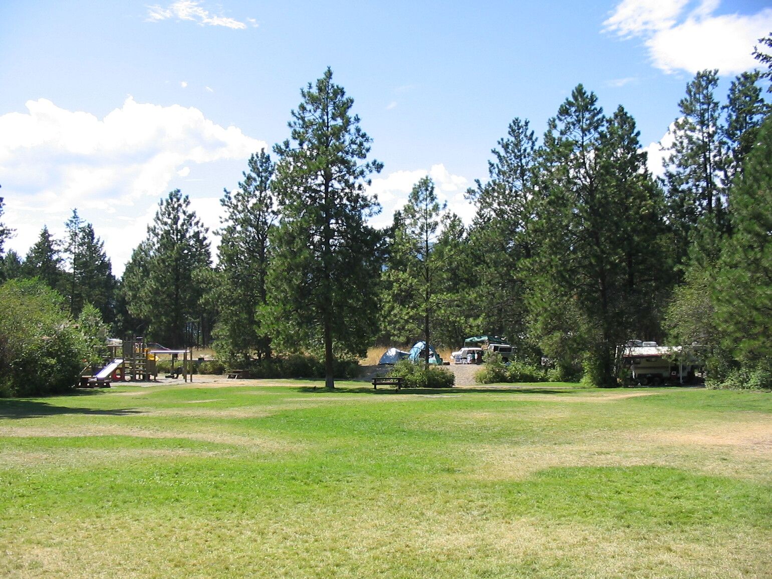
Picnic areas — This park offers a variety of day-use activities accessed from four main parking areas: Red Gate, Cosens Bay Gate, Twin Bays (yellow) Gate, and the Climbers Parking Lot.
Pit or flush toilets — This park has pit toilets that are maintained from April 7 to October 29. There are no flush toilets.
Day-use and camping areas — Red Gate picnic area.
- Accessibility
There is accessibility information for the Twins Bay area.
- Dogs & pets
Pets and domestic animals must be on a leash at all times unless at a designated pet area.
- Safety & notices
This area provides habitat for a variety of snakes, including rattlesnakes.
Bear awareness — Visitors should be aware that bears inhabit the park.
Swimmer's itch — Campers and swimmers should be aware that swimmer’s itch may be present at Kalamalka Lake Park.
Cliff diving warning — Cliff diving is extremely hazardous.
Sun exposure warning — The extremely hot, dry Okanagan climate can result in overexposure to the sun.
More details
- Trail difficulty
- Ranging from green, blue, and black
- Trail features
- Flovy sections, tight switchbacks, rocky slabs, wooden bridges
- Trail network length
- 70km
- Panoramic views
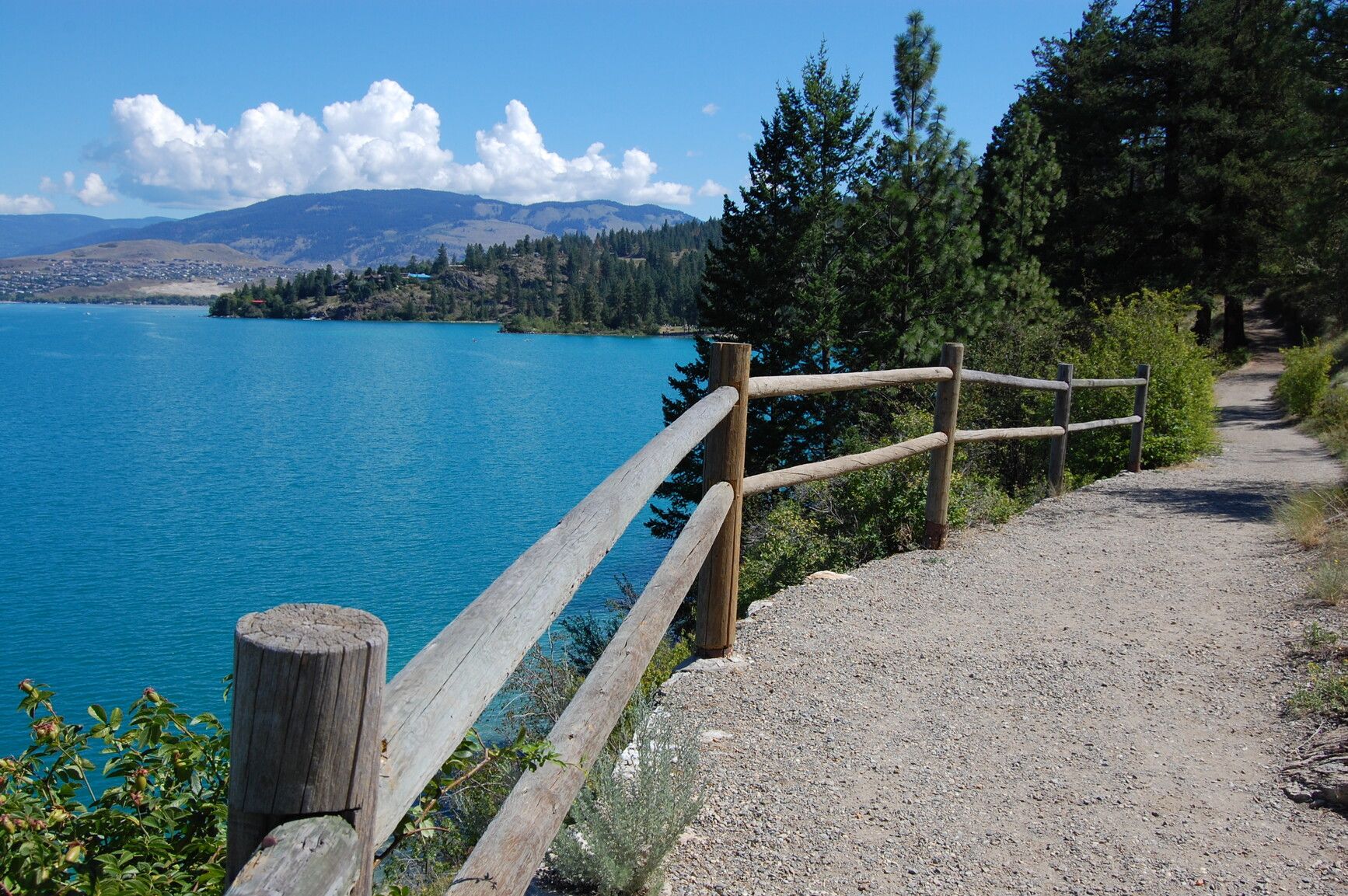
- Kalamalka Lake's turquoise waters and the hillsides adorned with the golden blooms of Arrowleaf Balsamroot
- Hiking
- Over 14 km of trails provide access to the park’s many ecological features, viewpoints and main beaches.
- Bear Valley Trail
- 1 km, easy. This natural trail is accessed by following the High Rim Trail from the Cosens Bay parking, following the fence along the park boundary and climbing the small ridge.
- Coldstream Trail
- 2.5 km, moderate. This developed gravel path begins at the Red Gate and cuts through a forest of Ponderosa pine and Douglas fir before emerging into grasslands and descending into Cosens Bay.
- Cosens Bay Trail
- 2.5 km, easy. A popular hike to the beach at Cosens Bay, hikers can follow the road through the grasslands.
- Crest Trail
- 1 km, easy. This trail follows the height of land from the Jade and Juniper parking to Rattlesnake Point.
- Grassland Trail
- 1.5 km, easy. This developed gravel path leaves the Jade and Juniper parking lot and climbs through open grassland and Ponderosa pine to join the Coldstream Trail.
- Juniper Trail
- 1.5 km, easy to moderate. This well developed paved trail descends to the twin bays.
- Swimming
- Only the swimming areas in the three main bays are well marked with swim buoys.
- Fishing
- Please obey all posted speed and vessel restrictions. Daily kokanee quota is two.
- Wildlife viewing
- There is a viewing platform atop Rattlesnake Point with eight benches situated to make the most of the spectacular view.
- Cycling
- Mountain biking is permitted in the park, however, the beaches (Jade, Juniper and Cosens) and trails to Rattlesnake Point are not appropriate for biking due to the high levels of foot traffic.
- Waterskiing
- Kalamalka Lake is a popular destination for waterskiing and wakeboarding, though there is no boat launch in the park.
- Horseback riding
- Horseback riding is permitted in the Park. Access is located at the Cosens Bay parking area year round or from the Twin Bays parking area from Sept 15 to June 15.
- Hunting
- Hunting is permitted only within the areas specified on this map: Kalmalka Lake Park Hunting Map [PDF].
- Winter recreation
- Depending on snow levels, the trails into Cosens Bay provide un-groomed, cross-country skiing.
- E-Biking
- Bicycles with electric assist motors (e-bikes) are permitted on signed or designated trails within Kalamalka Lake Park.
- Canoeing
- There are paddling, canoeing and kayaking opportunities at this park.
- Trail
- Big Ed loop
- Trail
- Lookout trail
- Trail
- Blue flow trail Flovid
- Trail
- Stonefree
- Trail
- Killer King Route
- Climbing
- 1800m of climbing
- Special notes
- There are kiosks at main trailheads with interpretive information.
Day 2
- Trails
- Lookout, Gingerly, No Boats, Black Powder, Stone Free, Be Kind, Flovid, Twisted Sisters, Twista, Big Ed, Fraidy Cat, 36, Killer King Route
Day 1: Ascend the Outdoors
- Suggested hike
- Cosens Bay Trail, an easy 2.5 km hike leading through grasslands and along Red Hawthorne Creek to the beach at Cosens Bay.
Day 1
- Trails
- Explore all the trails at Kalamalka Lake Provincial Park
Keep Exploring

Kalamalka Lake
1.3 km away.
Known as the 'lake of a thousand colours', it offers a watersports paradise with sparkling…
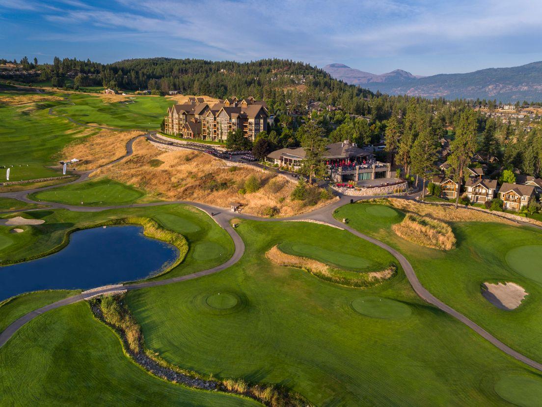
Predator Ridge Resort
5.7 km away.
A resort with trails offering options ranging from easy walks to more challenging hikes.
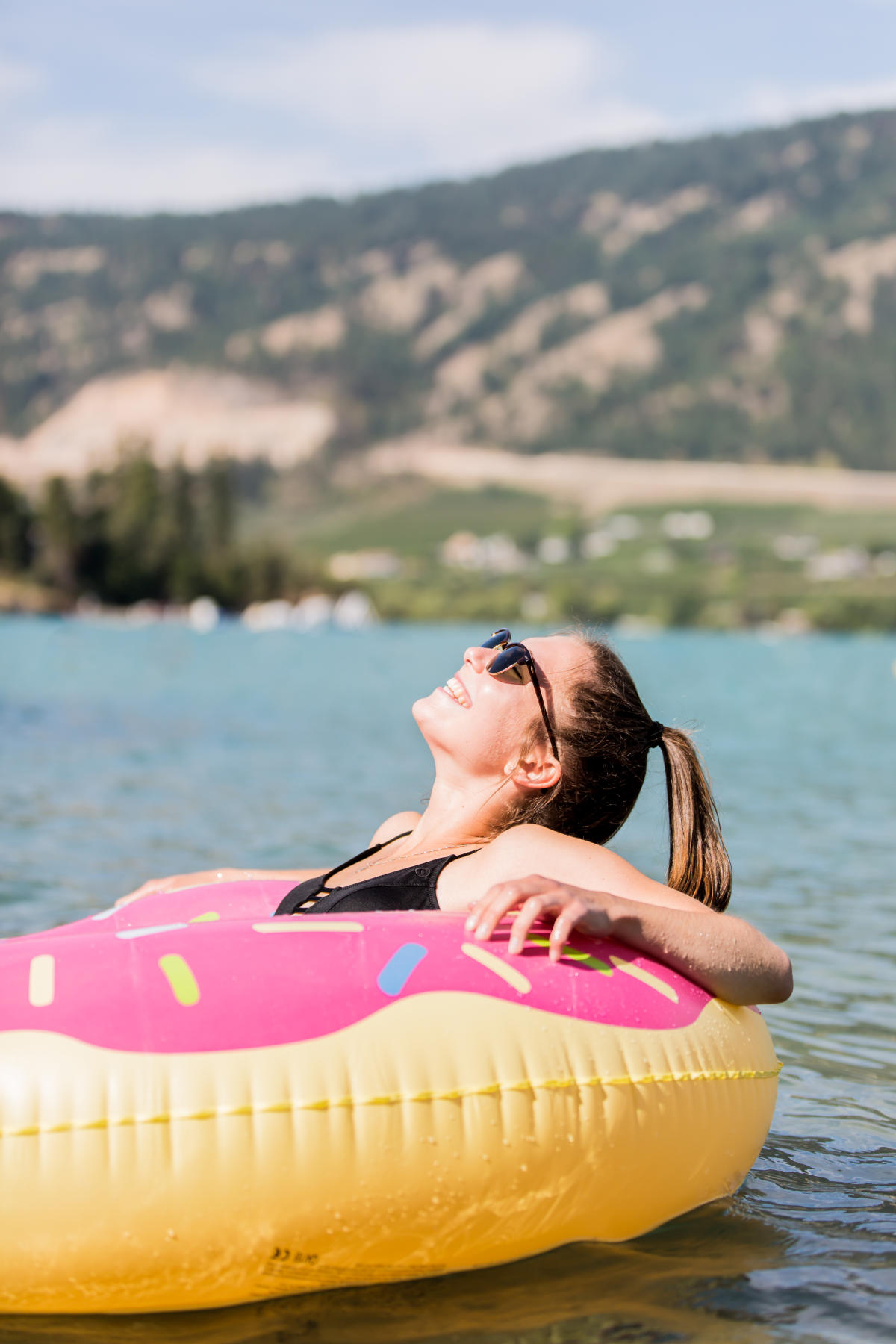
Kaloya Regional Park
6.5 km away.
A regional park on the south end of Kalamalka Lake.
Ellison Park
8.9 km away.
A provincial park with multiple beaches for camping, hiking, canoeing, and fishing, also f…
Cougar Canyon
1.0 km away.
Located within Kalamalka Lake Provincial Park, it offers a variety of rock climbing routes…
Vernon Creek
1.3 km away.
Kekuli Bay Provincial Park
2.6 km away.
Located on a peaceful bay with calm waters, a boat ramp, campground, and popular for boati…
Kekuli Bay
2.8 km away.
Kekuli Bay is a location where visitors can cool off and take a dip in the lake.
Rattlesnake Point
4.1 km away.
A viewpoint at Kalamalka Lake Provincial Park known for its sunset walks and views of the…
Kinloch Boat Launch
6.8 km away.
A boat launch located at 12908 Kinloch Drive.
Okanagan Lake Viewpoint
6.9 km away.
Oyama
7.3 km away.
A starting point of the paddle trail at Kalamalka Lake.
Map
Trusted Information
- BC Parks
- BC Parks
- Tourism Authority
- Tourism Authority
- Tourism Authority
- Tourism Authority
- BC Parks
- BC Parks
- Tourism Authority
- BC Parks
- Tourism Authority
- BC Parks
- BC Parks
- Tourism Authority
- Tourism Authority
- BC Parks
- BC Parks
- Tourism Authority
- Tourism Authority
- Tourism Authority
- Tourism Authority
- Tourism Authority
- BC Parks
- Tourism Authority
- BC Parks
- Tourism Authority
- Tourism Authority
- Tourism Authority
- BC Parks
- Tourism Authority
- BC Parks
- Wikipedia