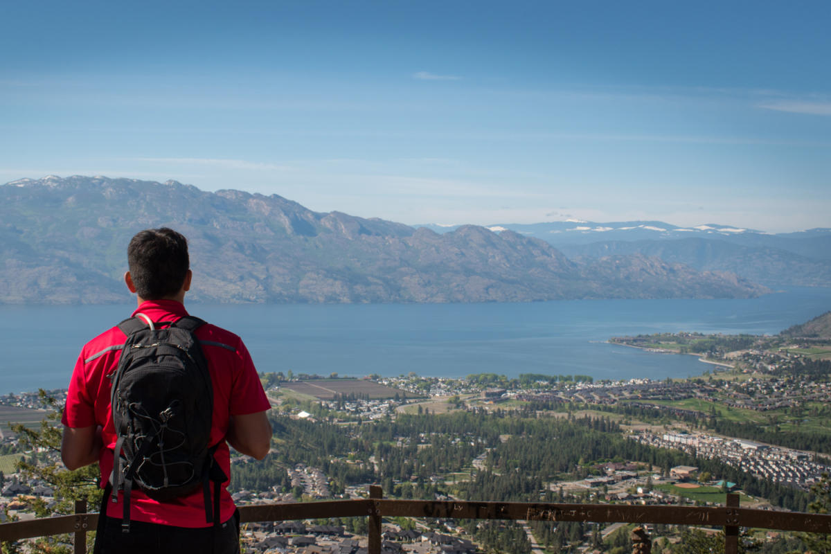
Mount Boucherie
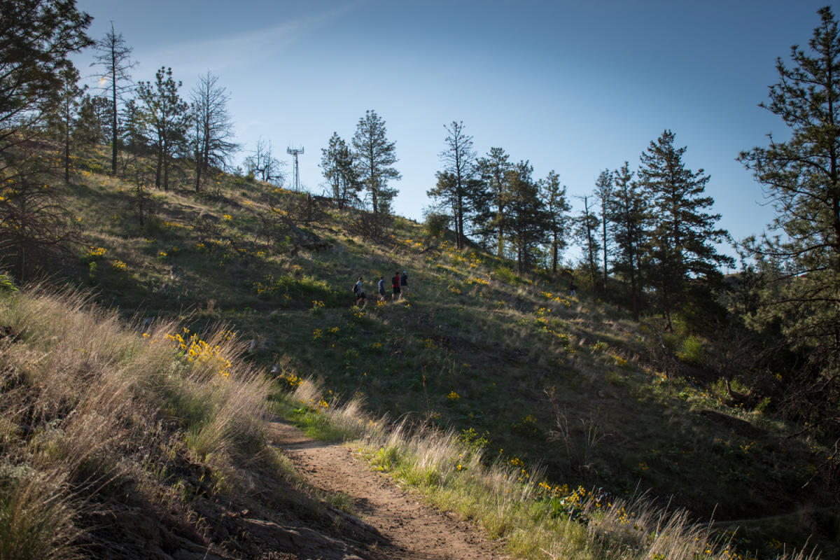
Mount Boucherie offers hiking, hike, and dog Friendly Hike.
Don't leave without...
- Hiking
- Hike
- Dog Friendly Hike
Continue the adventure
Overview
A location perfect for sunrise hikes.
Photos
Quick Facts
- Type
- mountain
- Coordinates
- 49.8551, -119.5729
What you can do here
- Hiking
- Dog Friendly Hike
- Hike
Good to know
- Getting there & parking
West Kelowna, Central Okanagan Valley
Trail Access — Turn onto Bartley Road from Hwy 97, which turns into East Boundary Rd. Follow the road approximately 1.5 km to a small parking area on the left.
More details
- Trail Name
- Boucherie Rush
- Trail Length
- 3km
- Elevation Gain
- 274m
- Alternative Trail Access
- Access from Lakeview Cove Road at Eain Lamont Park for reduced elevation gain.
- Trail Features
- Multiple switchbacks, dog water dish at the summit, multi-use and two-directional trails.
- Wildlife
- Deer and other wildlife often spotted, rattlesnakes known to be in the area during warmer months.
- Nature Rehabilitation
- Users are encouraged to stay on the trails as nature rehabilitation is in progress.
- Trail
- Mount Boucherie Rush Trail
- Trail length
- 3.5 km out-and-back
- Trail feature
- switchbacks along the southeast face of the mountain
- View
- spanning over West Kelowna and down the lake towards Peachland and Okanagan Mountain Provincial Park
- Trail
- ridgeline across the top of Mount Boucherie to a lookout at the opposite end of the mountain
- View
- panoramic view of Kelowna and down the lake towards Bear Creek Provincial Park
Climb a volcano
- Flora and fauna
- Okanagan Sunflowers, baby quail
Keep Exploring
Afterwards
More to Explore
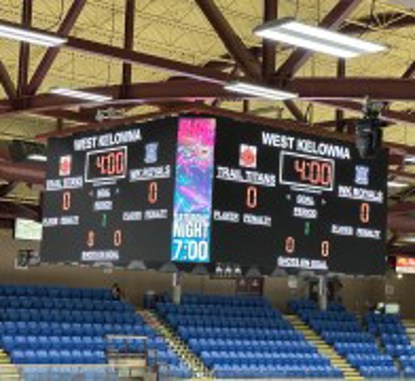
Royal LePage Place Arena
820 m away.
Royal LePage Place is West Kelowna's premier, 1,500-seat, multiuse facility accommodating…
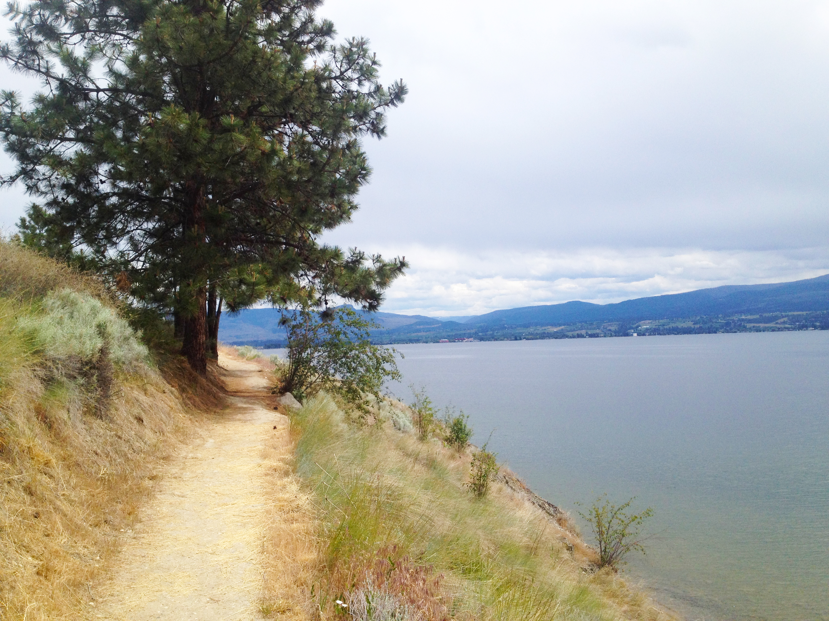
Kalamoir Park
2.2 km away.
This looped trail offers continual panoramas reaching across the lake to Okanagan Mountain…
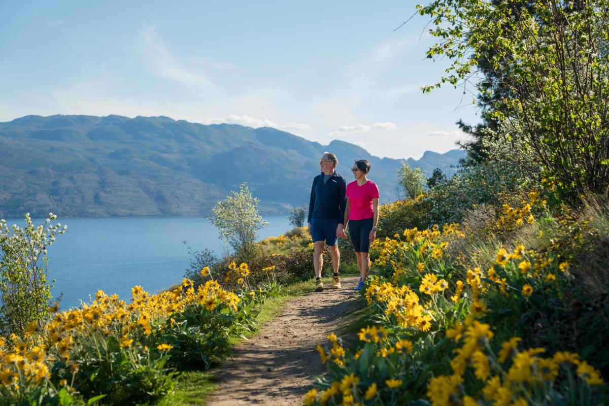
Kalamoir Regional Park
2.2 km away.
A park where you can spot wildflowers along the trails.
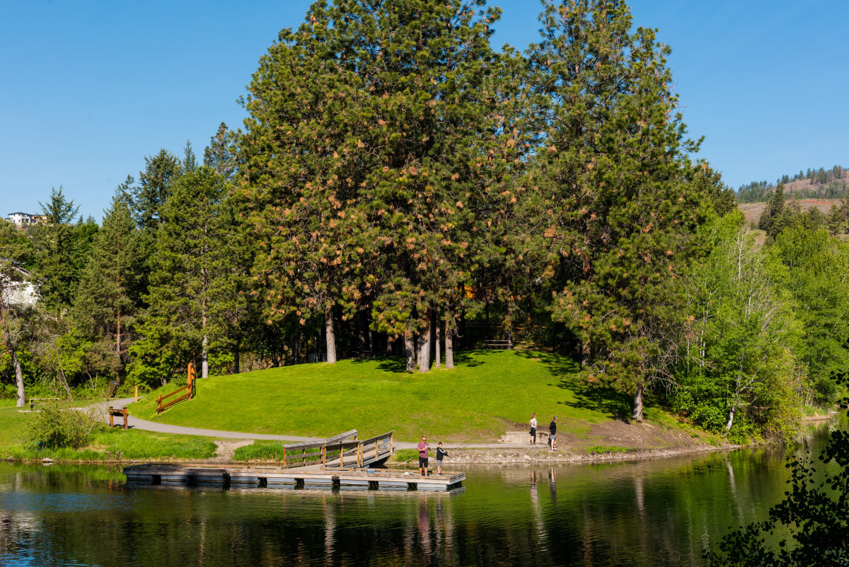
Shannon Lake Regional Park
3.0 km away.
A regional park in Kelowna with good fishing holes and picnic areas, frequently stocked wi…
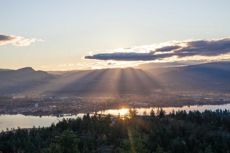
Rose Valley Regional Park
4.1 km away.
A park in West Kelowna featuring the City on the Edge of Forever lookout, accessible via a…
Mount Boucherie Park
850 m away.
A park featuring a moderately challenging trail with switchbacks up a dormant volcano, off…
The Hatching Post
1.2 km away.
A location where the Oktoberfest celebration is held.
Westside Wine Trail
1.6 km away.
A wine trail located on Boucherie Road in West Kelowna, British Columbia, featuring 15 par…
Westbank Cemetery
4.6 km away.
Westbank Cemetery is an 8.2-acre cemetery located at 3200 Elliott Road, West Kelowna. It o…
Rotary Beach
4.6 km away.
A popular beach in Kelowna with shady spots.
Okanagan Brigade Trail
4.7 km away.
The Okanagan Brigade Trail was a main Hudson’s Bay trail linking Fort Vancouver in Washing…